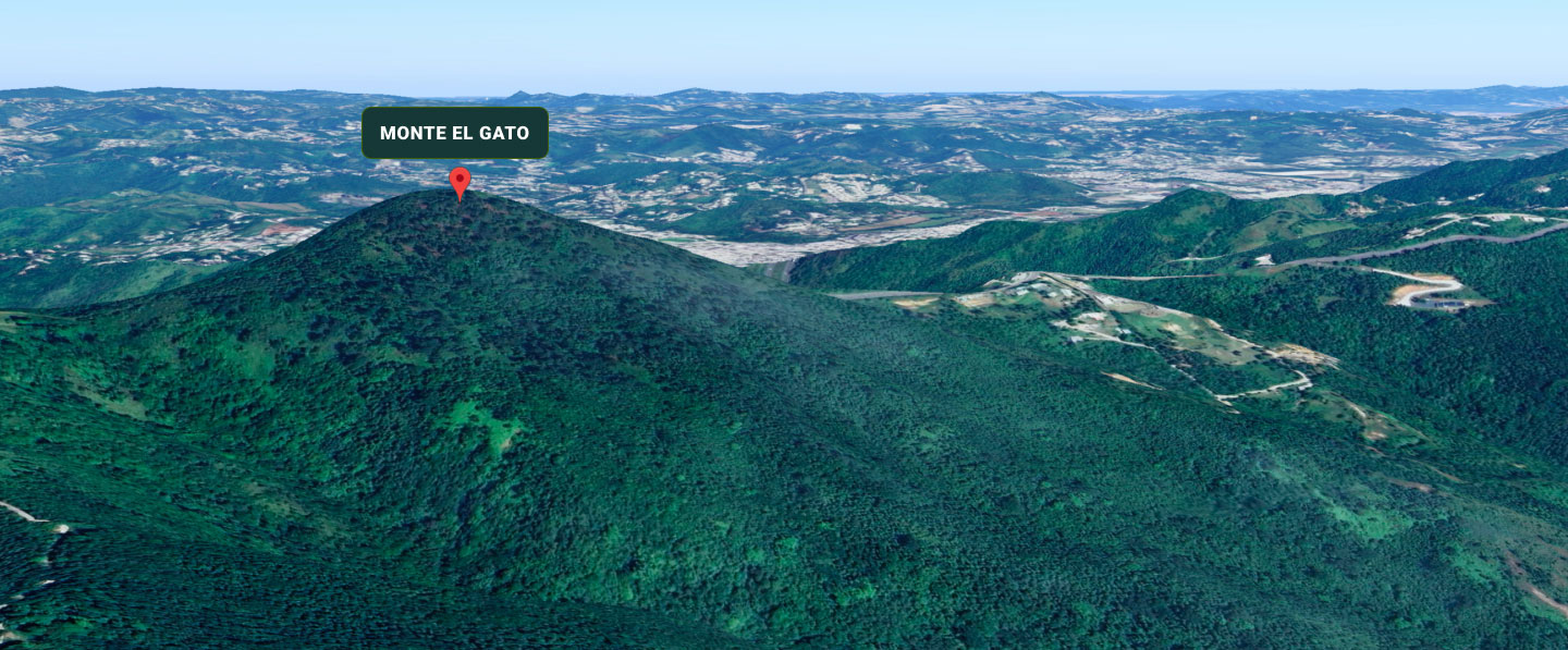
Monte El Gato is located in the municipality of Cayey within the Sierra de Cayey, a mountain range forming part of the southeastern sector of Puerto Rico's Cordillera Central. This region constitutes a topographic and hydrological transition zone between watersheds draining toward the northern slope of the island and those draining toward the southern slope, playing a key role in the redistribution of water within the mountainous interior.
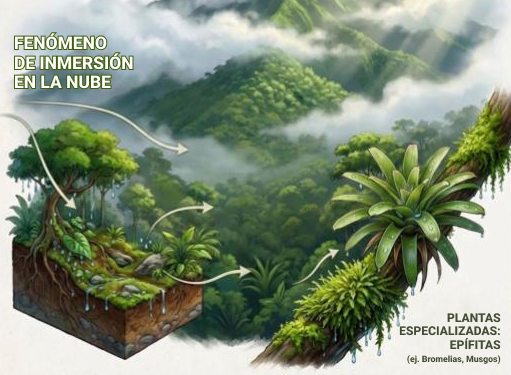
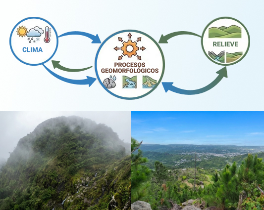
The elevation of Monte El Gato (approximately 815 m, with locally higher values according to digital models) and its relative position within the Sierra de Cayey make it an effective point for intercepting atmospheric moisture carried by the prevailing northeast trade winds. When these moist air masses rise along the mountain slopes, they cool adiabatically, producing condensation, low cloud formation, and orographic precipitation.
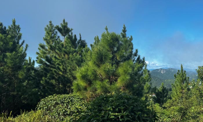
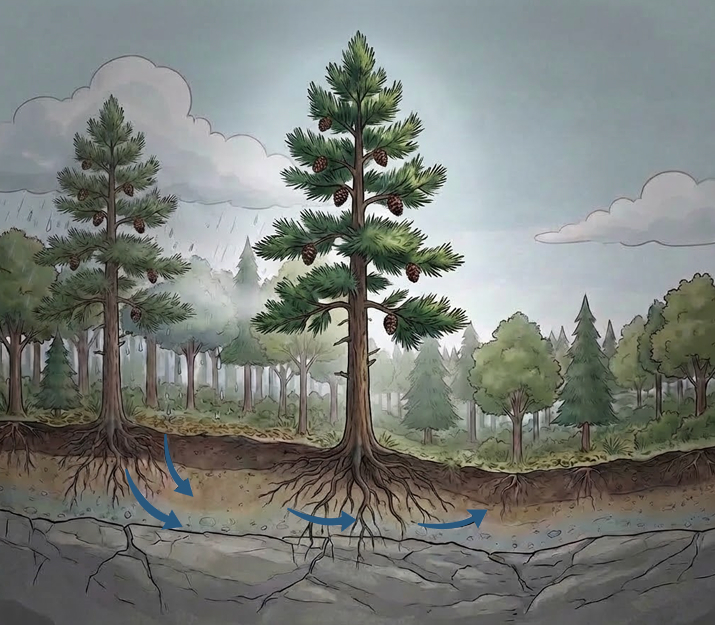
The terrain is irregular and steep, characterized by pronounced slopes, rounded ridges, and a network of small mountain streams that drain locally into larger basins. These streams have short courses, variable gradients, and hydrological regimes strongly influenced by local precipitation and atmospheric moisture.
The surrounding landscape includes other peaks and ridges of the Sierra de Cayey, sectors associated with Carite State Forest, and adjacent lands with varying degrees of human management. This combination of rugged topography and dense vegetation contributes to the environmental heterogeneity of the area.
The climate is classified as humid tropical montane, with cooler average temperatures than surrounding lowlands, high relative humidity, and a strong influence of cloud immersion.
This phenomenon occurs when the mountain is frequently wrapped in low clouds or mist, even in the absence of heavy rainfall.
Cloud immersion has significant effects on the ecosystem:
These conditions are particularly favorable for the development of epiphytes, such as bromeliads and mosses, which depend both on direct rainfall and on water capture from fog.
Monte El Gato is part of a mountainous system that plays a critical role in the hydrological regulation of Puerto Rico's interior.
Precipitation and humidity captured in these elevations feed streams and tributaries that contribute to larger river systems, including the watersheds of the La Plata and Patillas rivers, both of regional importance [2][6].
The area's capacity to intercept, retain, and gradually release water was one of the main reasons why, during the 20th century, forest management interventions were promoted to protect watersheds.
The combination of steep slopes, high humidity, and frequent rainfall promotes intense chemical weathering processes, especially in altered volcanic rocks such as those found at Monte El Gato. This process contributes to the development of deep soils in some areas and to the mobilization of fine materials toward mountain streams and lower zones [1][3].
At the same time, dense vegetation acts as a stabilizing factor, reducing surface erosion and regulating sediment movement. This balance between steep relief, humid climate, and vegetative cover defines the current environmental dynamics of Monte El Gato and explains its ecological and hydrological importance.